Transparent pricing
Clear, predictable costs without hidden fees. Additional work is discussed in advance.
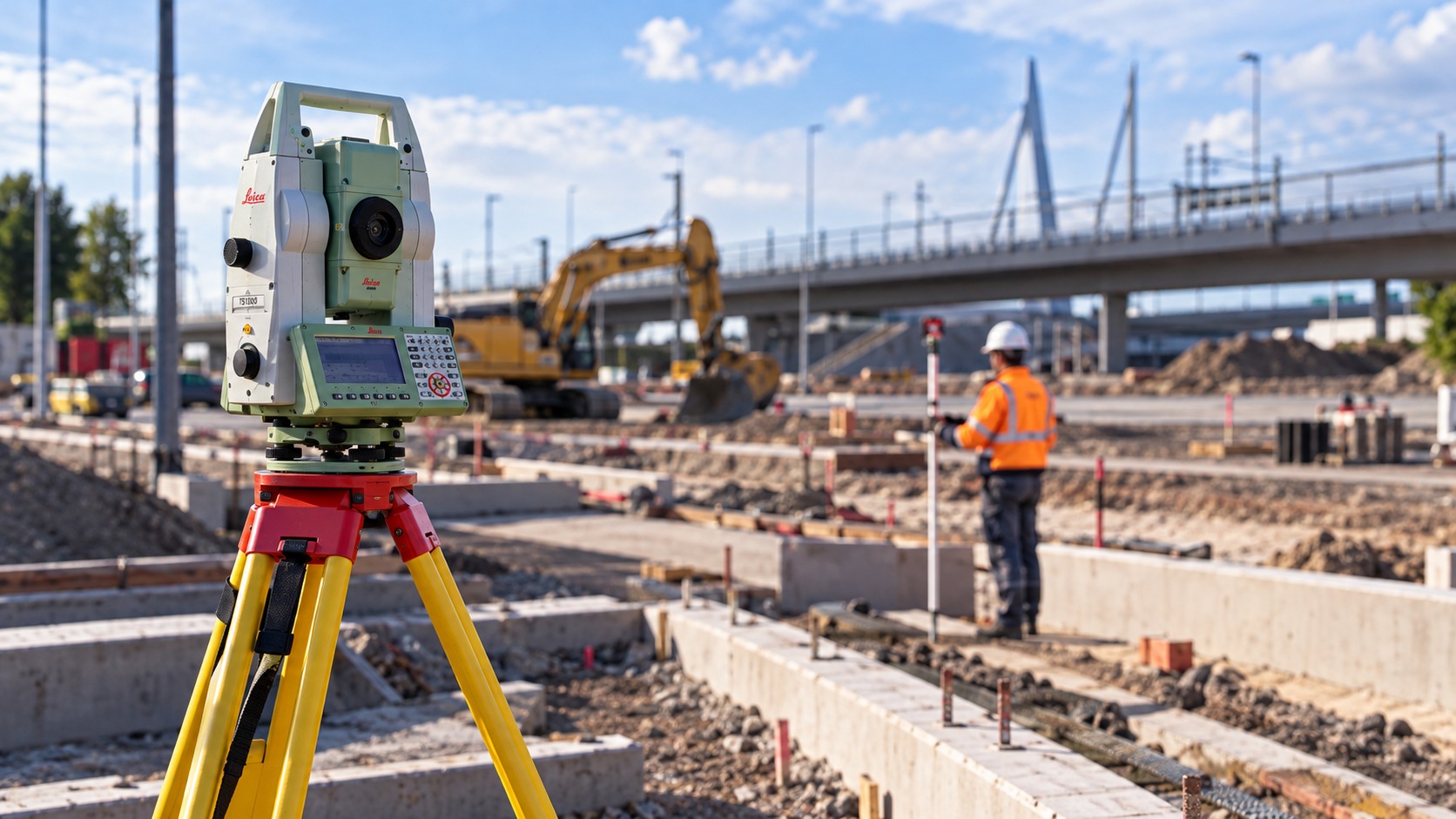
Precision for construction, infrastructure and engineering.
Clear agreements, flexible support and reliable measurement data.
Clear, predictable costs without hidden fees. Additional work is discussed in advance.
Including holiday periods, when your project needs extra support.
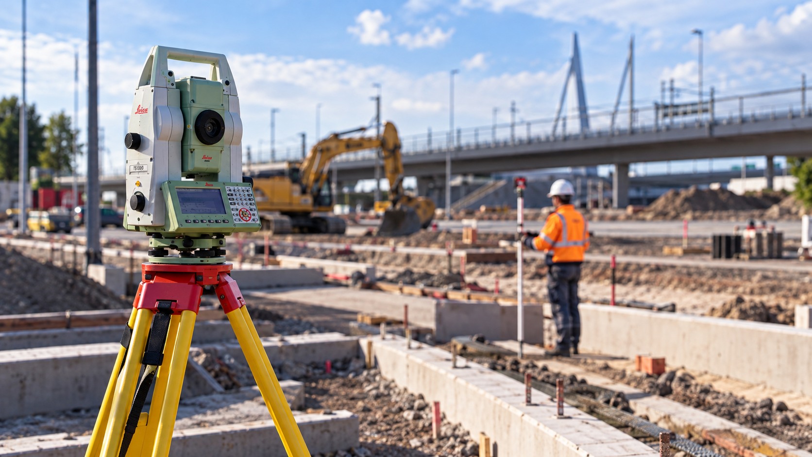
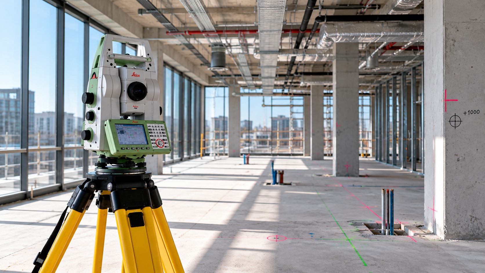
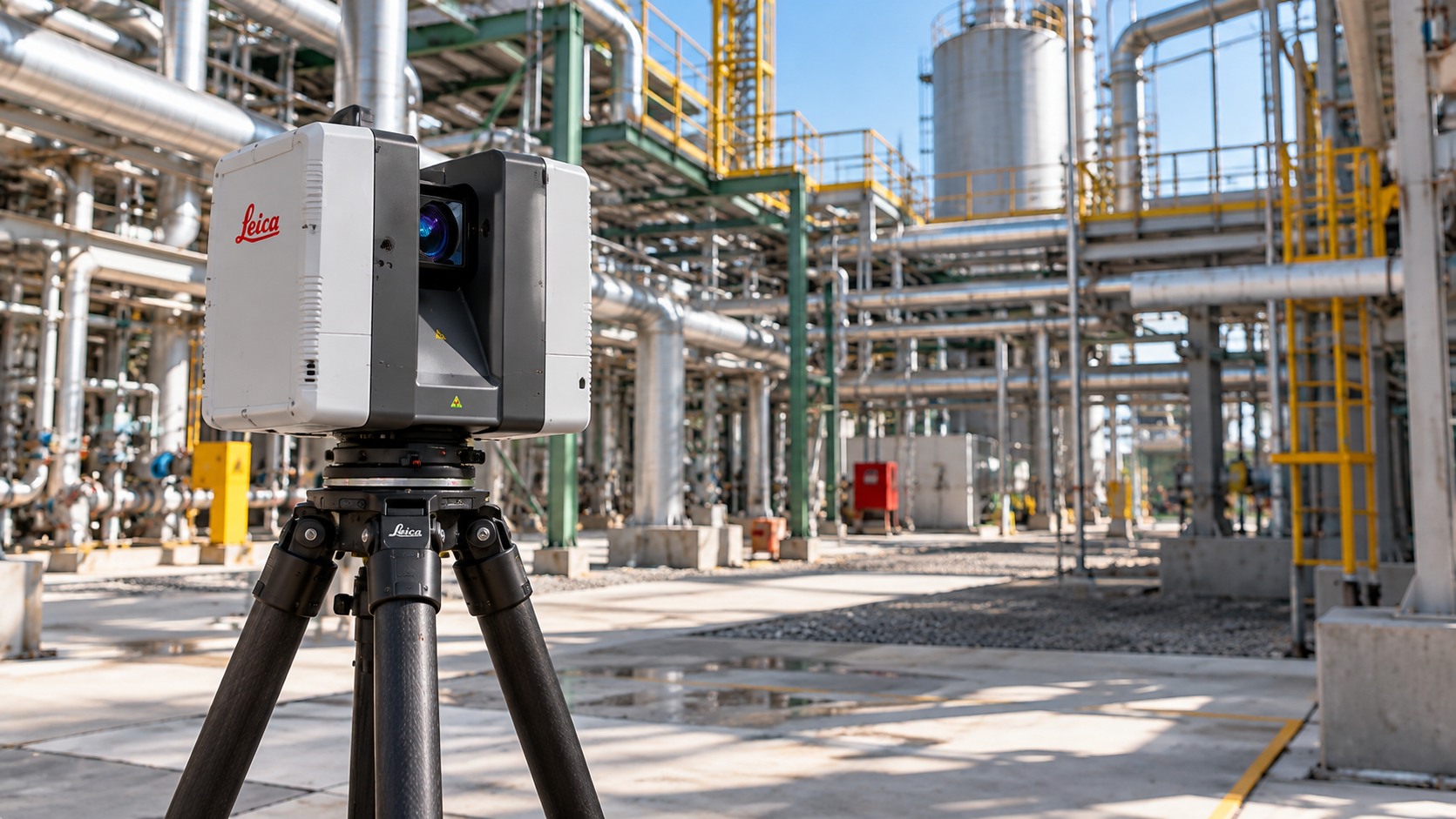
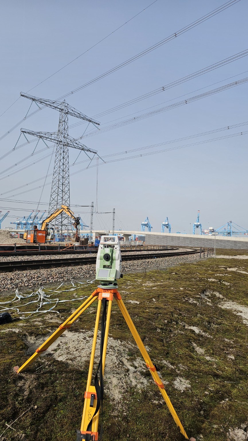
Leica, Trimble and GeoMax for surveying; NavVis and Leica for 3D laser scanning.
Flexible support for construction, civil engineering and infrastructure projects.
LIARAD provides accurate surveying and digital project data for construction, infrastructure and engineering projects.
All services →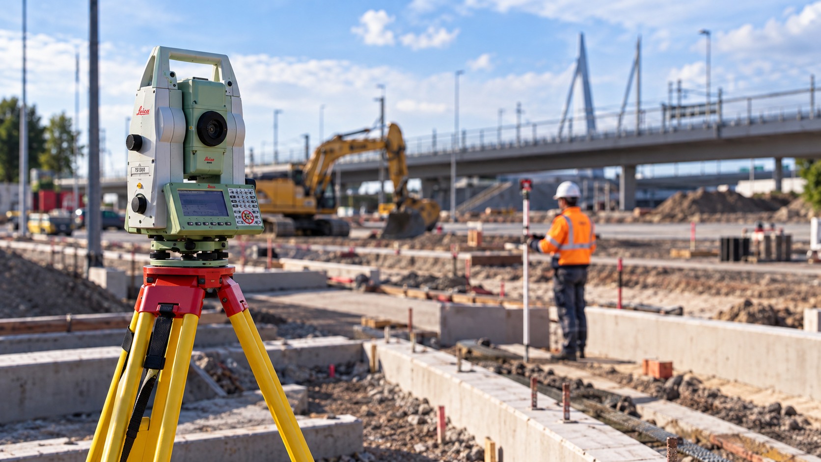
LIARAD supports construction, infrastructure and engineering projects with land surveying, setting out and 3D measurement solutions.
About LIARAD →Setting Out & Control
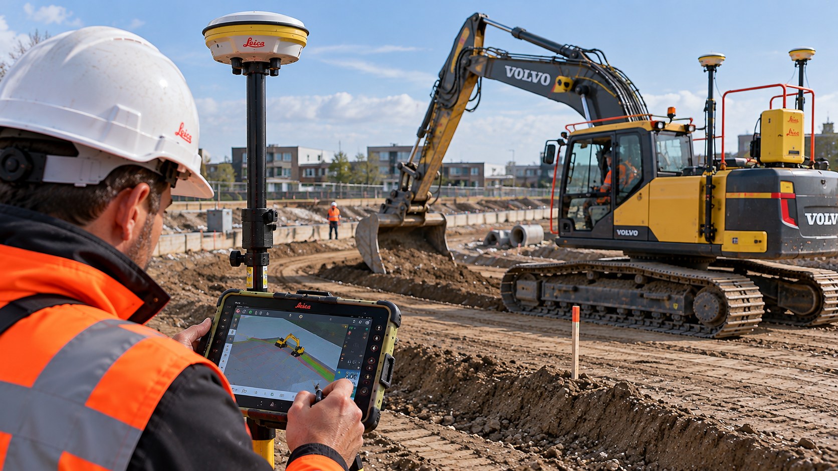
As-built surveys
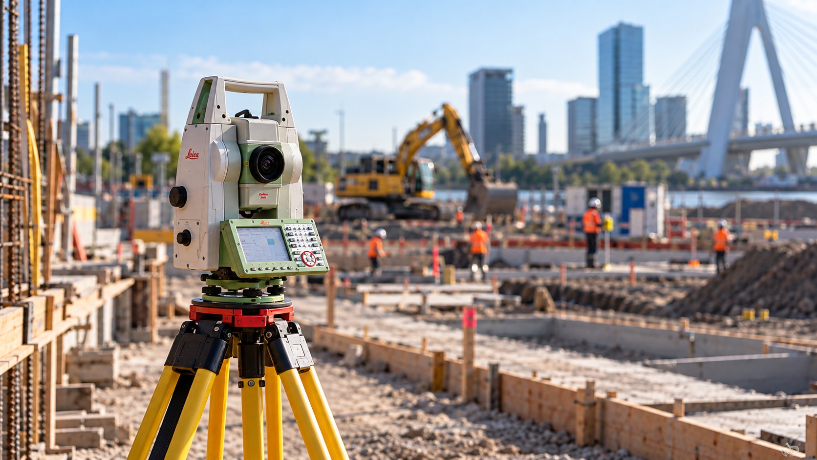
3D scanning & pointcloud
Discuss your project with LIARAD. We are happy to help.