
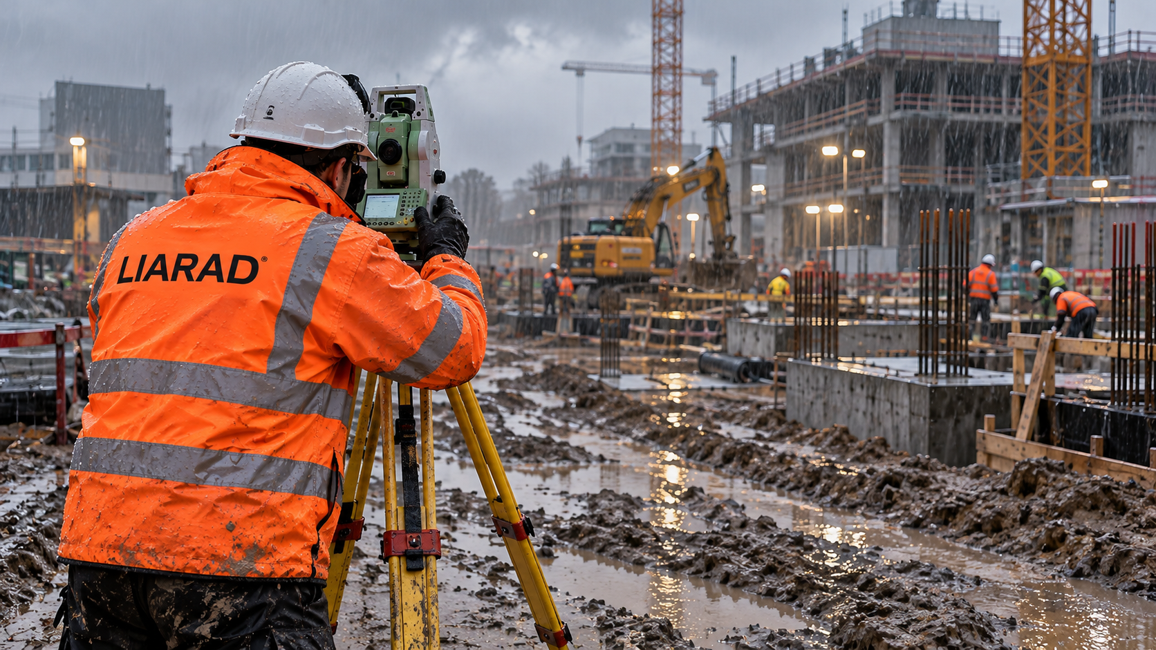
Accurate surveying, flexible cooperation and transparent pricing
LIARAD provides land surveying, setting-out and digital measurement services for construction, civil engineering and infrastructure projects throughout the Netherlands and surrounding countries. With more than 20 years of international experience, we deliver accurate solutions tailored to each project's needs.
Professional equipment and modern technology
For reliable measurement results, we use total stations and GPS/GNSS equipment from Leica, Trimble and GeoMax, as well as 3D laser scanners from NavVis and Leica.
Flexible availability
We adapt to project schedules where possible and aim to provide support during holiday periods when needed.
Transparent pricing
Where possible, we offer fixed prices for standard services. For more complex projects, you receive a clear quotation in advance describing the scope and costs. Any additional work or costs are discussed beforehand.
From field survey to digital delivery
Our services include construction setting out, control measurements, as-built surveys, monitoring, levelling, 3D laser scanning, CAD drawings and BIM models.
View project experience →