
Our services
Accurate surveying solutions for construction, infrastructure and engineering.
From field surveying to digital project data
From setting out and periodic monitoring to 3D scanning and digital drawings, explore the solution that fits your project.
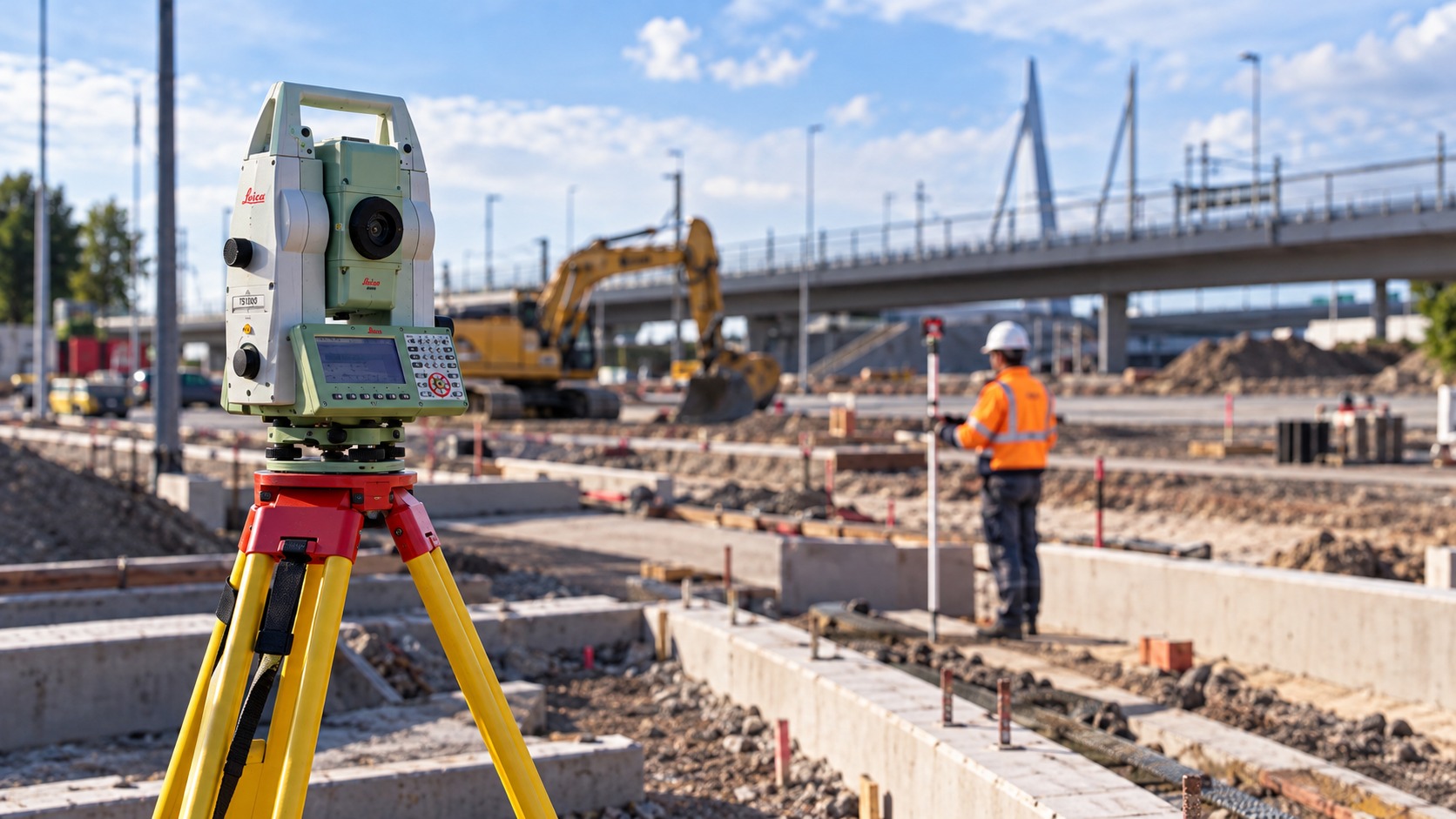
Request a quote →Setting Out & Control
Accurate setting out and control surveys on site, from building grids and foundations to structural points and elevations.
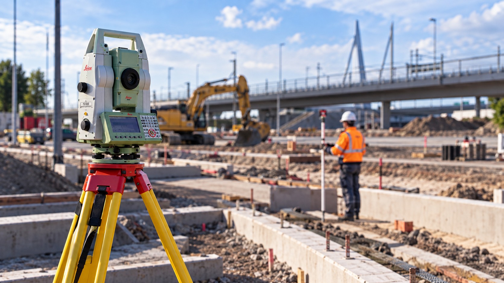
As-built Surveys
Documenting completed work for verification and as-built records.
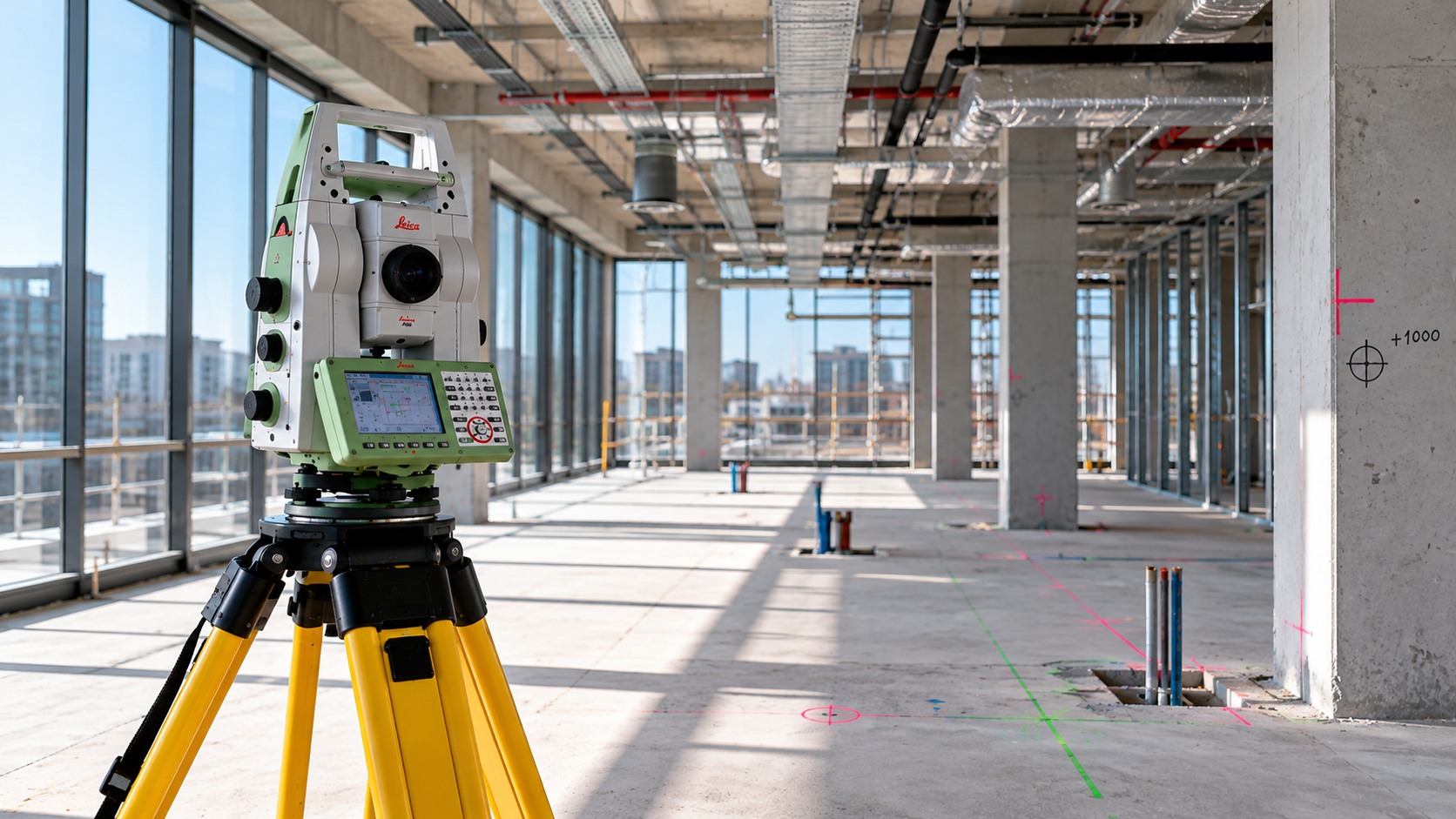
Monitoring
Periodic measurements to record and analyse changes in position, elevation and shape, including movement and settlement.
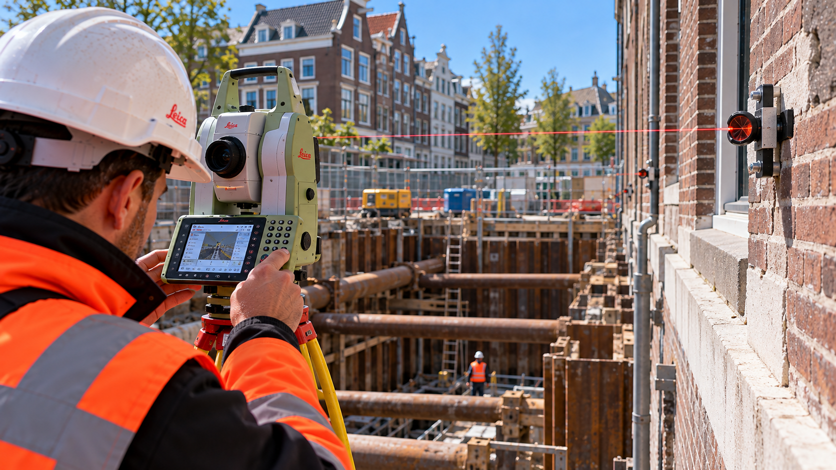
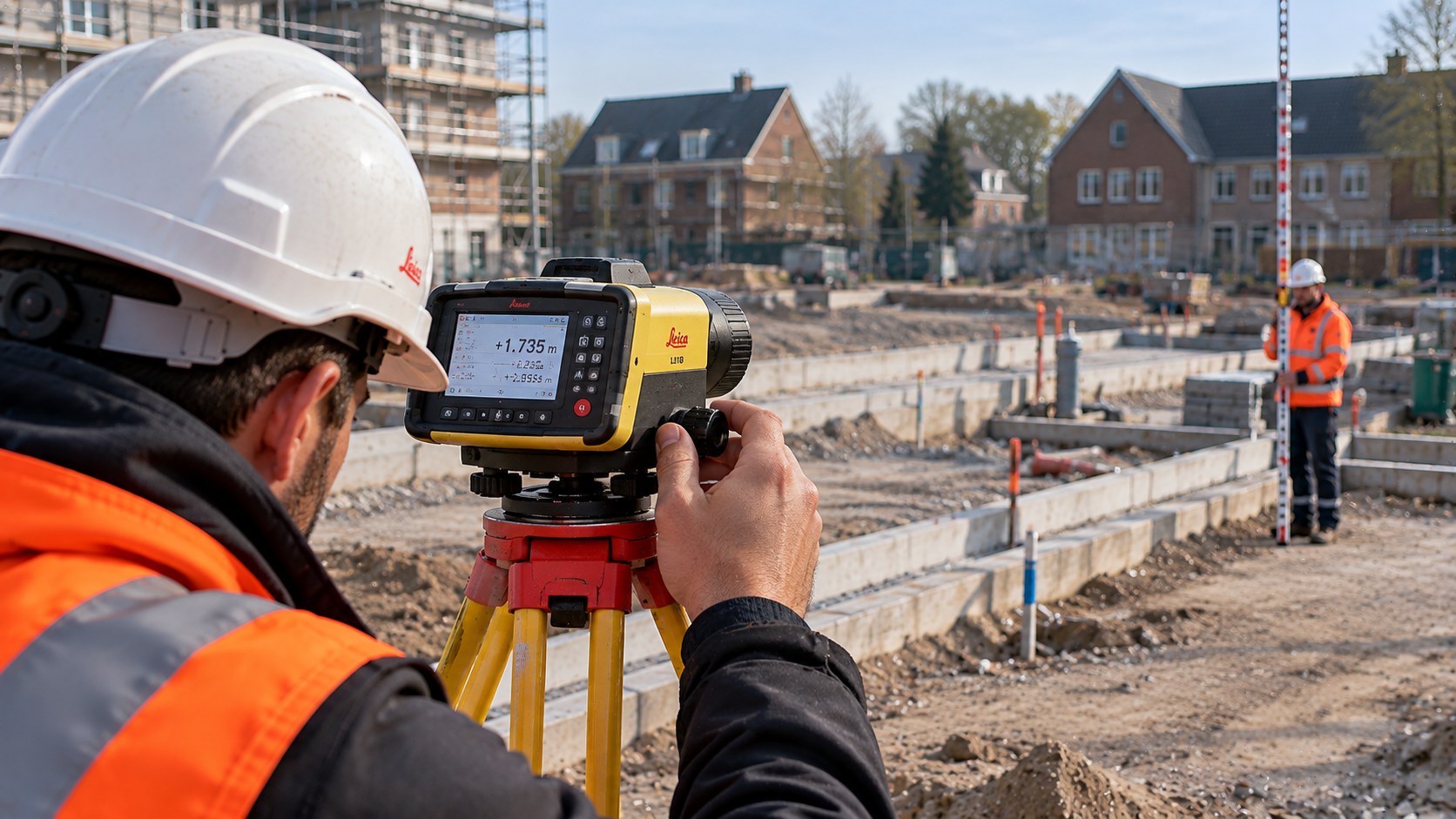
Levelling
Accurate levelling and elevation checks for construction, infrastructure and civil engineering projects.
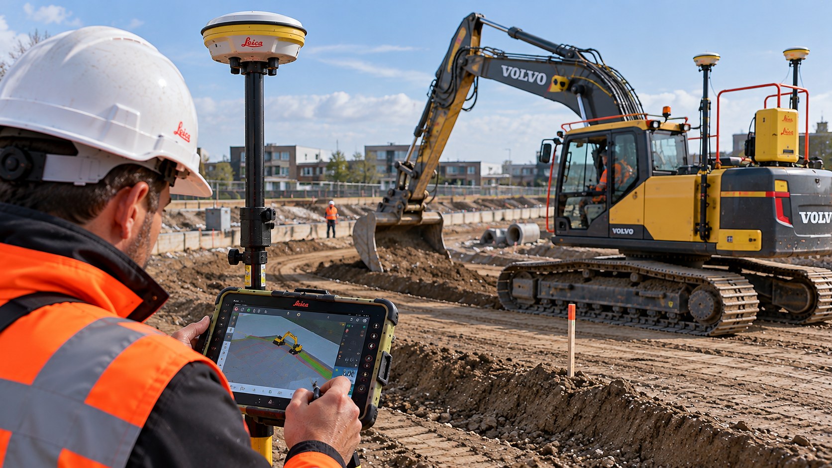
Machine Control
Digital terrain and elevation data and designed surfaces for machine control, earthworks and road construction.
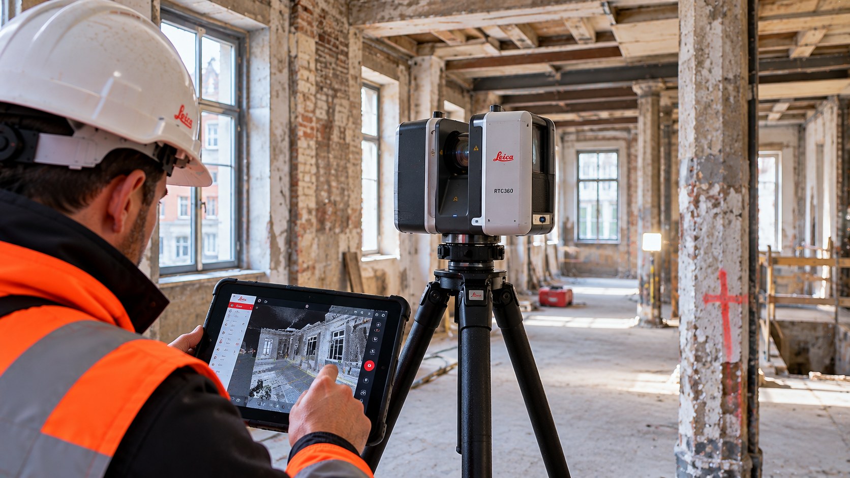
3D Laser Scanning
Digitally documenting buildings, structures and installations, from scanning through to final CAD and BIM deliverables.
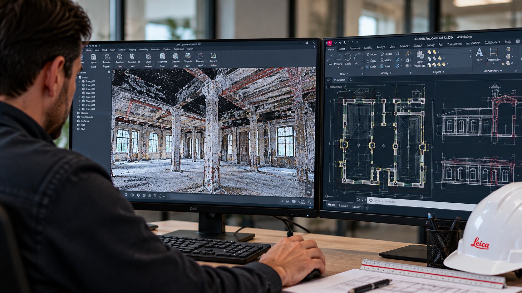
Point Cloud to CAD
Processing point clouds into clear 2D CAD drawings for construction, renovation, engineering and documentation.
Scan-to-BIM
Converting point clouds into BIM models with a level of detail suited to the project requirements.