
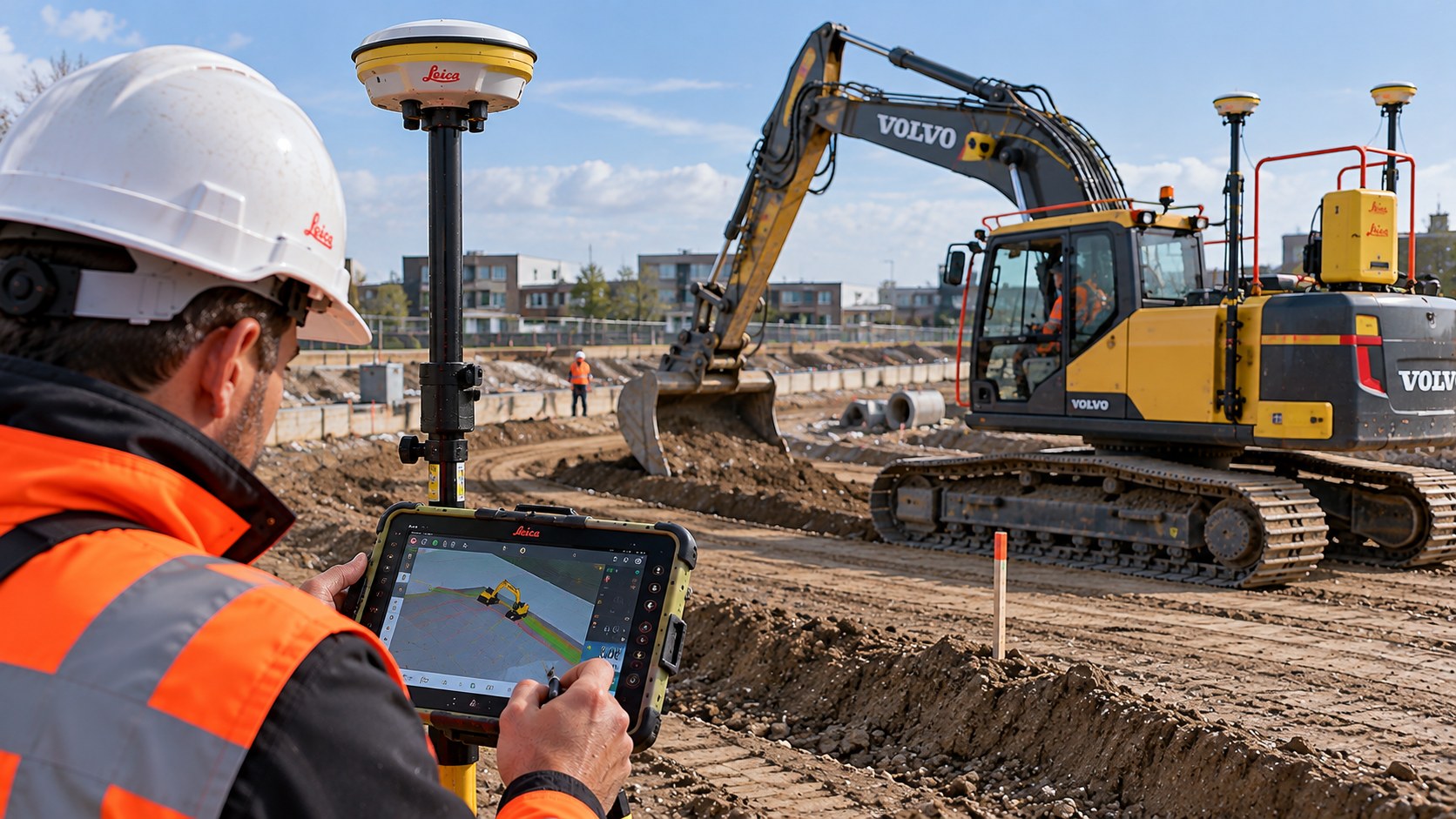
Survey data for accurate machine-control operations
LIARAD supplies digital terrain data, elevation data and designed surfaces for machine-control applications. These datasets support earthworks, road construction and civil engineering projects, helping teams work to the design and check completed results.
What can we survey or develop for you?
- Elevation data and coordinates
- Terrain surveys
- Digital terrain and design data
- Control surveys
- As-built checks
- Project data for machine control
From project discussion to delivery
We discuss the required scope and available project information, prepare and carry out the survey work, and deliver the agreed survey data or digital files.
Tailored to your project
Equipment, references, accuracy, file formats and scheduling are agreed in advance. We do not make general accuracy claims without understanding the project conditions and requirements.
Request a quote →