
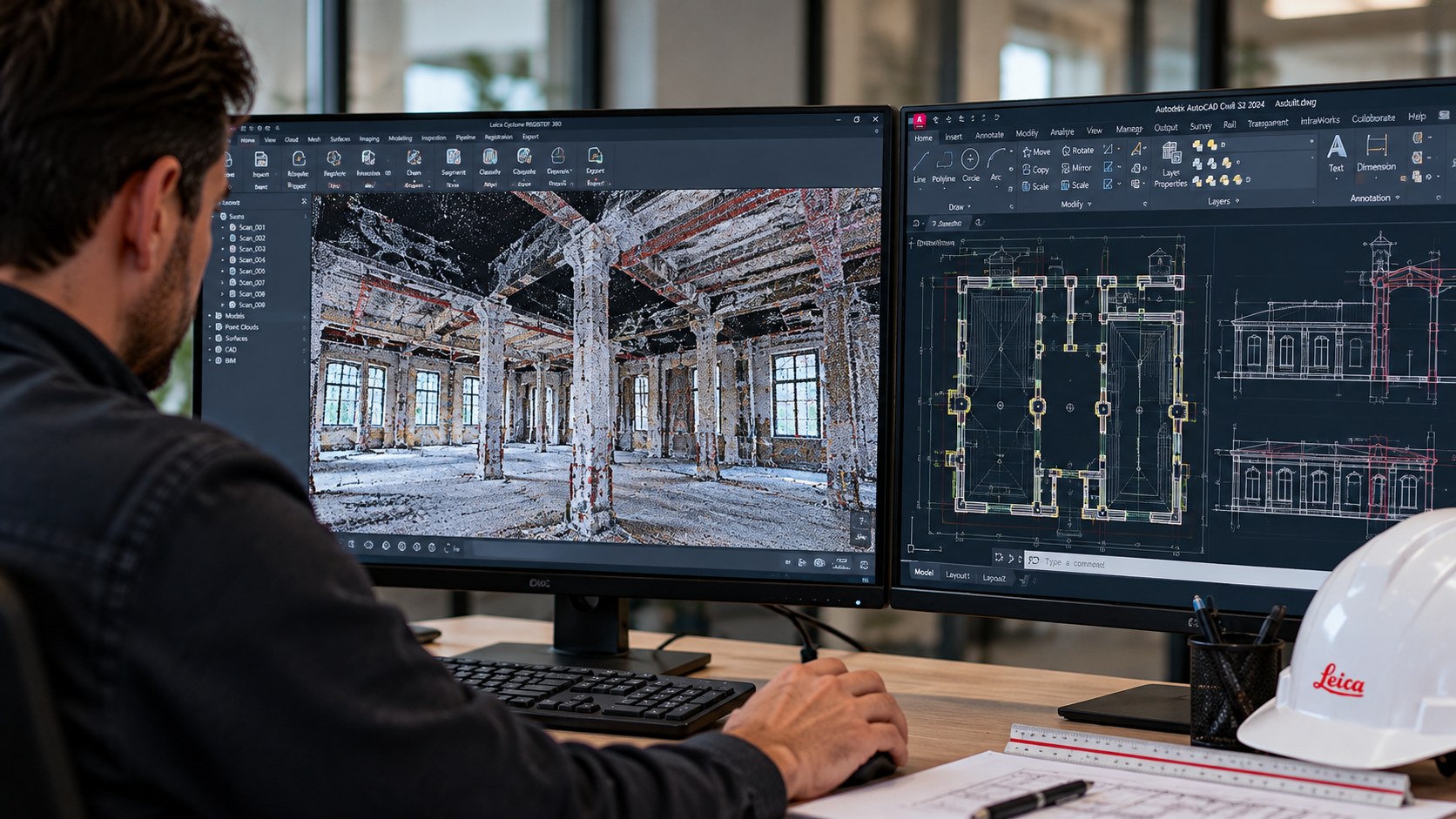
From 3D point cloud to practical CAD drawings
LIARAD converts point clouds into clear, practical CAD drawings for construction, renovation, engineering and documentation. Using the available scan and survey data, we draw the relevant parts of the existing conditions as 2D CAD drawings.
What can we survey or develop for you?
- Floor plans
- Elevations and sections
- Structures and building elements
- Existing conditions
- As-built records
- Technical details
From project discussion to delivery
We discuss the required scope and available project information, prepare and carry out the survey work, and deliver the agreed survey data or digital files.
Tailored to your project
Equipment, references, accuracy, file formats and scheduling are agreed in advance. We do not make general accuracy claims without understanding the project conditions and requirements.
Request a quote →